MOLA 0.125° Shade Maps
Using the currently-released (through August, 1999) data, and some later data
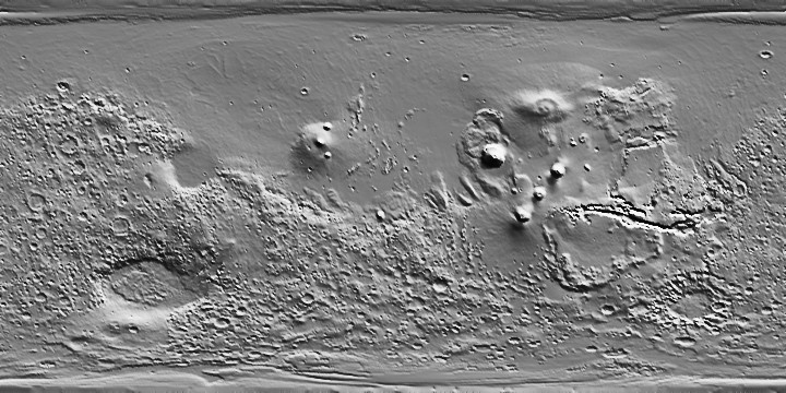
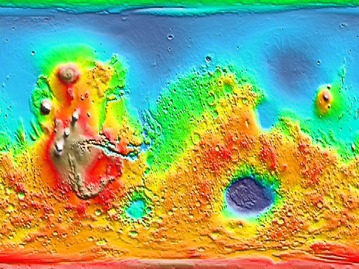
that has yet to be validated, the MOLA Science Team has produced eighth-degree topographic shade maps of Mars. These files are
shown here as low resolution JPEGs. At a resolution of 300 dots per inch, these
images subtend a width of 9.6 inches.
These images are suitable for use as a background map for publication-quality graphics. The grayscale maps are produced as a gradient from 30° clockwise from the top of the rectangle, then normalized by an arctangent function. These
are merged with topographic color contours to produce images using the
Generic
Mapping Tools (GMT) free software of Wessel and Smith.

CED Grayscale from 0 to 360°E
(Credit: MOLA Science Team)

Stretched CED Color from 180°W to 180°E
(Credit: MOLA Science Team)
Back to MOLA home
page
Direct inquiries to: [email protected]


