

MGS MOC Release No. MOC2-267, 10 January 2001
In this two-part Mars Global Surveyor (MGS) Mars Orbiter Camera (MOC) data release, the MOC Team at Malin Space Science Systems (MSSS) presents all available MOC image products as well as MGS Mars Orbiter Laser Altimeter (MOLA) shaded relief maps and Viking Orbiter views of the Beagle 2 landing site. These products are being used by the MOC Team to help determine where new MOC narrow angle images need to be acquired during the MGS Extended Mission phase that will run from February 2001 to April 2002.
Part 1 of the release, shown below, exhibits low-spatial resolution products
including MOC wide angle views, MOLA maps, and Viking Orbiter image mosaics
of the landing site region. The colored ellipses present the areas in
which Beagle 2 may land.
Part 2 of the release (Click Here) includes all MOC narrow angle views of the Beagle 2 landing site region. These include all of the MOC high resolution images obtained as of 1 January 2001.
A. The Landing Ellipses
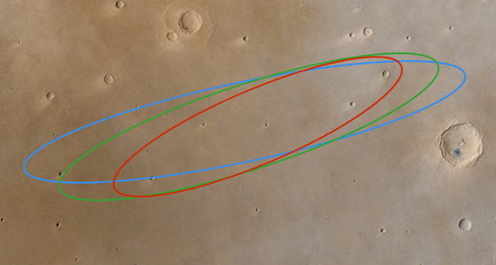
Landing Ellipse Overlay on MOC Wide Angle Color Mosaic (300 m/pixel) (1.3 MBytes)
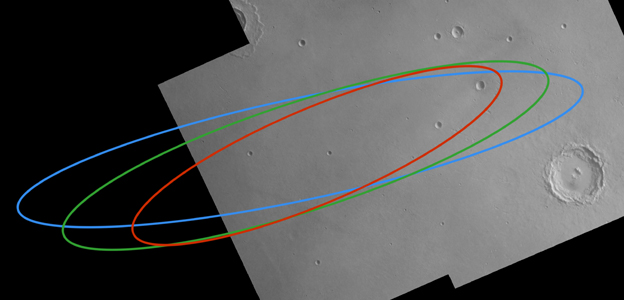
Landing Ellipse Overlay on Best Viking Mosaic (150 m/pixel)
(1.8 MBytes)
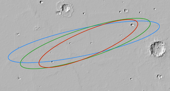
Landing Ellipse Overlay on MOLA Shaded Relief (300 m/pixel)
(0.6 MBytes)
B. Other Low Resolution Data

Large MOC Wide Angle Mosaic (150 m/pixel) (12 MBytes)
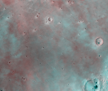
Large MOC Wide Angle Stereoscopic Anaglyph (150 m/pixel)
(14.1 MBytes)

Mars Orbiter Laser Altimeter (MOLA) Digital Elevation Map
(300 m/pixel)(0.3 MBytes)
Vertical Scale: 11 m/DN, 0 DN = -5300 m
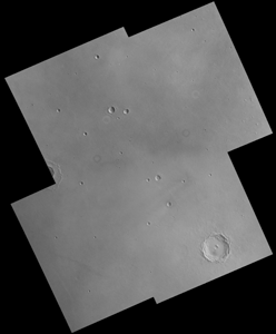
Large Best Viking Orbiter Mosaic (150 m/pixel) (VO1-379S)
(3.8 MBytes)
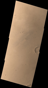
Large Viking Orbiter Color Image (150 m/pixel) (VO2-067B)
(4.3 MBytes)
 To MSSS Home Page